Have you ever wondered how businesses determine the perfect location for a storefront; or how health professionals track outbreaks of disease; or even how storytellers in literature and film create fictional lands and locations? Chances are Geographic Information Systems, better known as GIS, was used in those endeavors. GIS involves the use of computer-based technologies to compile, manage, analyze and visualize geographic or location data.
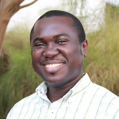
Several academic libraries across the country employ GIS specialists to help faculty and students understand how to use this location-based data technology in their research, but the Alkek Library has ramped up this service to help its patrons elevate their research. Dr. Nathaniel Dede-Bamfo, has PhD-level expertise and serves as the library’s GIS specialist and the manager of the new technology center known as GeoSpace.
GeoSpace is located on the first floor of the Alkek Library in the area known as Alkek One. Dede-Bamfo offers numerous workshops, conducts one-on-one consultations with students and faculty, and helps library patrons use geospatial technologies including GIS, Remote Sensing, Global Positioning Systems (GPS) and GeoComputation. These technologies have applications across nearly any field of academic study and they enhance understanding and assist with critical decision making.
“GIS provides a lot of fascinating tools to make your research more exciting,” Dede Bamfo said. “In many instances, you cannot fully understand things without looking at location. Location is a crucial element now in almost every field. If you want to explore the impact of location in your research, we are here to help.”
A native of Ghana, Dede-Bamfo’s passion for nature, geography and using data to understand our world ultimately led him to San Marcos, Texas. The youngest of five brothers, he dodged his father’s desire for him to go into medicine by following in the footsteps of one of his brothers who also studied geography.
“I looked up to my big brother. He loved maps and talked about different countries and the environment,” Dede-Bamfo recalled. “When I was growing up, we had this book series from the U.S. called Childcraft and I was fascinated with the volumes on nature and the environment, so I would binge on it and then when my brother would come home from college, I would challenge him with geography questions based on things I had learned from that book. So that’s where my interest in geography was piqued.”
That interest only grew throughout high school and as an undergraduate student in Ghana.
“I wanted to understand why certain things happen in the natural environment like how the mountains form, what caused volcanic eruptions and glaciers,” he said. “Growing up in Africa, I had never seen snow, but I was learning about glaciers. I just wanted to understand why things are organized the way they are. Why do we have green forests in this part of the world, but not that part? Why are deserts located where they are? Why do we have mountain ranges on the western coast of America and in South America?”
So great was his level of interest, that he continued his studies at the graduate level and that led him to the U.S. Based on a recommendation from his honors thesis advisor, he applied and got accepted to a master’s in Geography (with focus on GIS and cartography) at the State University of New York at Binghamton.
“I found it fascinating that I could use computers to understand things. I could get the data and map things and then I could look at it, manipulate it and answer questions about what would happen if certain parameters changed. I could simulate things in the environment and see things like if there were more pressure exerted on mountains, how would that affect what the coastlines look like. That’s where GIS became more interesting to me,” Dede-Bamfo said.
But there was still more to learn after completion of his master’s program, so Dede-Bamfo applied to PhD programs and was accepted at Texas State University where he completed the program and began working for University Libraries. He developed instructional programs and helped design GeoSpace which opened in the summer of 2020.
“In GeoSpace, we have a well-equipped instructional space for workshops that can also be used for personal needs. We also have the interactive display area with two large interactive screens that you can use to look at maps and storymaps and visualize other GIS data and features at a relatively large scale. We also have the PufferTouch which is a spherical display unit for showcasing different apps. It offers an interesting way to look at and interact with data,” he said.
The GeoSpace also has a variety of items available for checkout. They include GPS units, Laser Range Finders, an Unmanned Aerial System (known as drones) and a Multi-Spectral Camera. Each of them can be checked and used by Texas State library patrons for their research projects. The drone, however, requires proof of a drone pilot license and insurance before it can be checked out. All of this equipment as well as the services in GeoSpace are free to students, faculty and staff and Dede-Bamfo wants people to know about and use them.
“When people come to Alkek One and they see all this high-tech stuff, they have this mistaken perception that these must be really expensive and they’ll have to pay a fortune to use them,” he said. “But they are free. We want people to come to the floor and just ask anyone in any of the spaces. They can help you get what you need. Our desire is for people to use the technology we have made available.”
Dr. Dede-Bamfo enjoys meeting people and sharing ideas. Outside of work, he enjoys spending time with his family; wife, Ohenewaa and baby daughter, Darleen.
This article contributed by Debbie Pitts, University Libraries marketing and communications coordinator.